December 17, 2025
Safe Trips to BART: An Action Plan for Safer Roadways and its appendices have been revised based on public input and published, including Focus Station Area Action Plans for seven stations: Balboa Park, Coliseum, Colma, Concord, Hayward, Milpitas, and Richmond BART stations. The final plan and its appendices are available under the Resources and Materials section below.
This plan enables cities, towns, counties, and Caltrans to apply for funding to implement recommended improvements on public streets found on the High Injury Network in BART Station Study Areas to most benefit traffic safety.
Overview
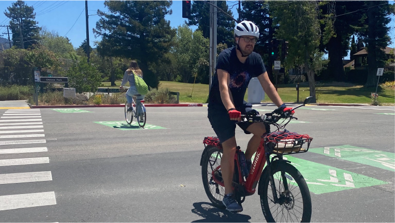
Riding rail transit such as BART is 18 times safer than traveling in a passenger vehicle (1), and BART wants to make it safer to get to and from our stations and to increase accessibility. Safe Trips to BART: An Action Plan for Safer Roadways is a systemwide effort to improve roadway safety on city-, county-, town-, and state-owned streets that provide access to BART stations. The Plan builds upon existing or ongoing safety work led by local agencies, countywide authorities, the San Francisco Bay Area Metropolitan Transportation Commission (MTC), and the California Department of Transportation (Caltrans). The Plan complements ongoing efforts led by BART, such as the Safe Routes to BART grant program other station access studies and projects, and the Transbay Corridor Core Capacity Program.
The goal of Safe Trips to BART is to identify investments that could reduce or eliminate traffic deaths and severe injuries, primarily transportation infrastructure improvements on public roadways found on the High Injury Network around BART Station Study Areas. Public agencies can get public support for right-sizing streets by highlighting BART’s service as another mobility option.
While Safe Trips to BART is a system-wide action plan for public roadways, it also identifies seven Focus Station Areas for individualized action plans and tailored infrastructure improvements. They demonstrate how partner agencies could use the Plan to develop similar summaries for project prioritization and funding applications. These Focus Station Areas were selected to cover all five counties that BART serves based on collision history and local agency input.
This Plan, which took two years to complete, was funded by the US Department of Transportation’s Safe Streets and Roads for All program.
(1) Calculated using death rates per 100,000,000 passenger miles in the year 2022, which was 0.54 for passenger vehicles and 0.03 for railroad passenger trains from the National Safety Council’s Injury Facts, found at https://injuryfacts.nsc.org/home-and-community/safety-topics/deaths-by-transportation-mode
Resources and Materials
You may view the final Plan and its appendices (all in PDF) by clicking on the links below:
- Safe Trips to BART: An Action Plan for Safer Roadways (10.1 MB)
- Appendix A: Outreach Milestone Reports (2.2 MB)
- Appendix B: Existing Resources and Conditions Report (1.7 MB)
- Appendix C: Review of Existing Plans and Projects by Station Area and Agency (5.6 MB)
- Appendix D: High Injury Network Maps by Station (15.4 MB)
- Appendix E: White Paper for System Safety Analysis (3.0 MB)
- Appendix F: Roadway Safety Measures Toolbox Methodology (3.2 MB)
- Appendix G: Focus Station Area Action Plans combined (42.5 MB) or as individual plans below:
- Appendix H: Support Letter Template (0.3 MB)